
Home » See & Do » Walking Trails » Mount Tilga Walk to the Summit
Mount Tilga Walk to the Summit
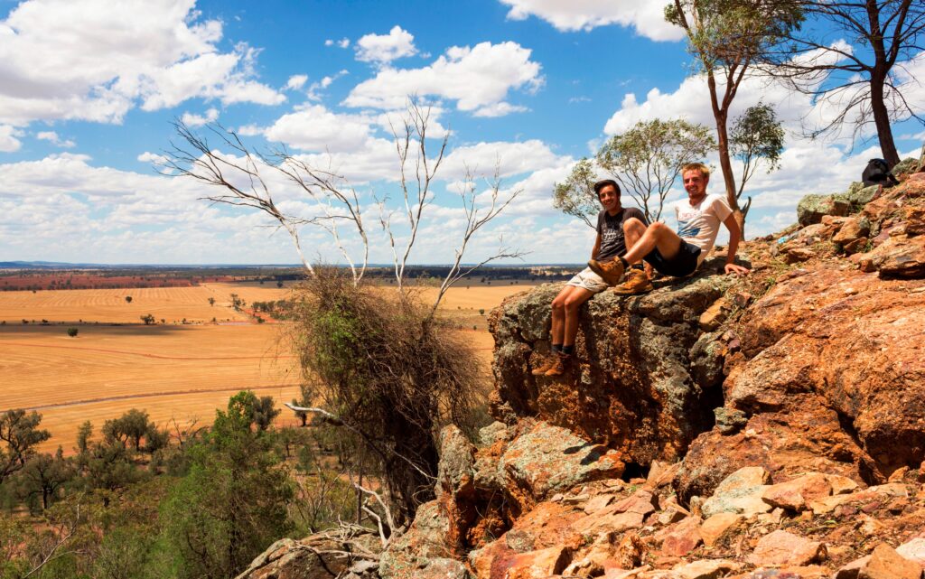
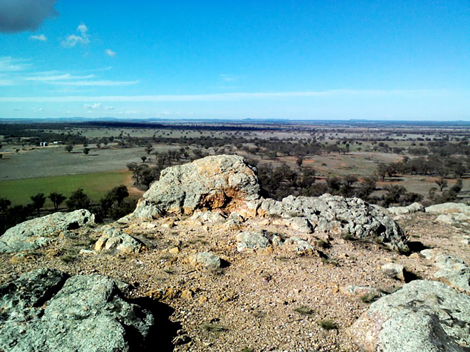
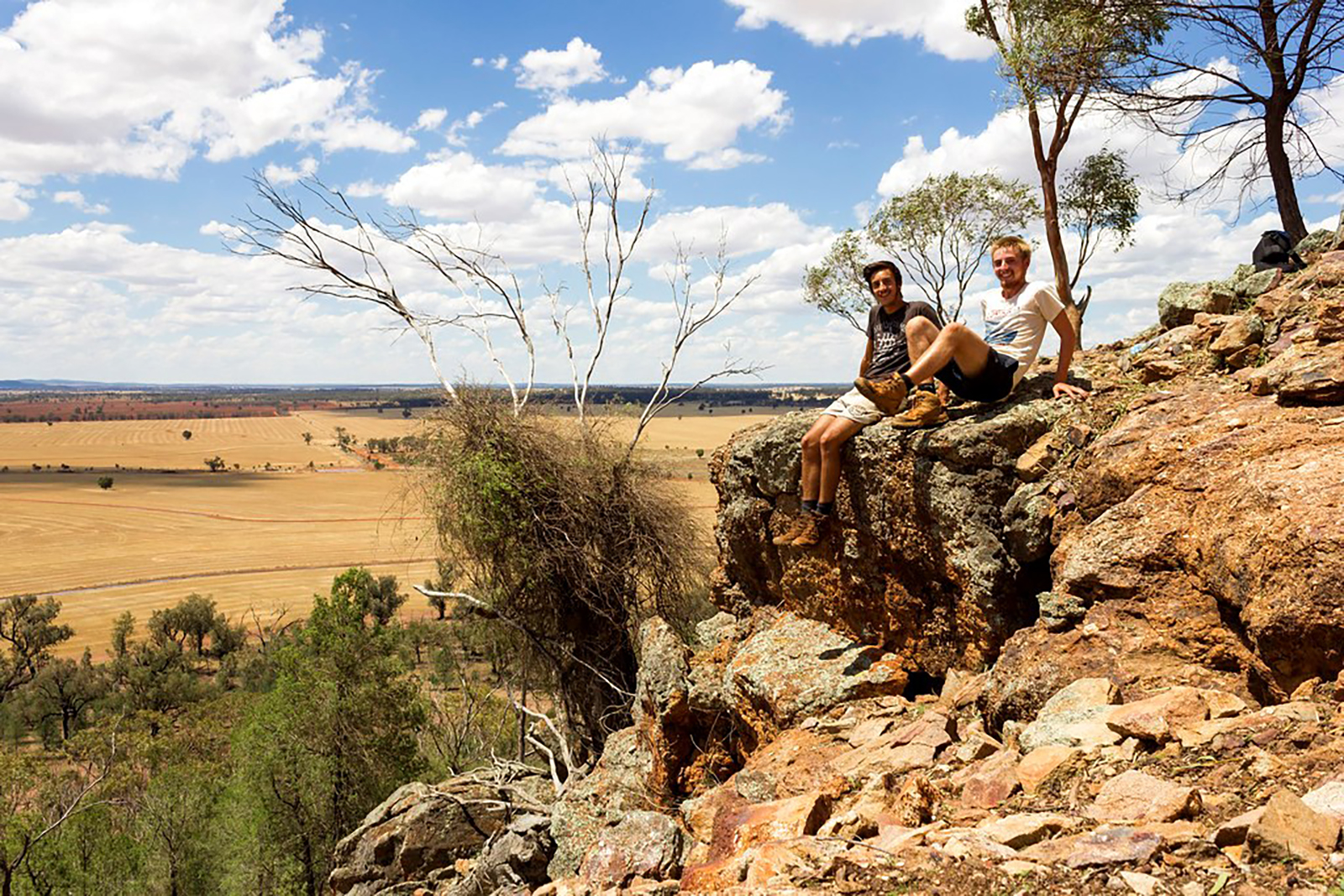
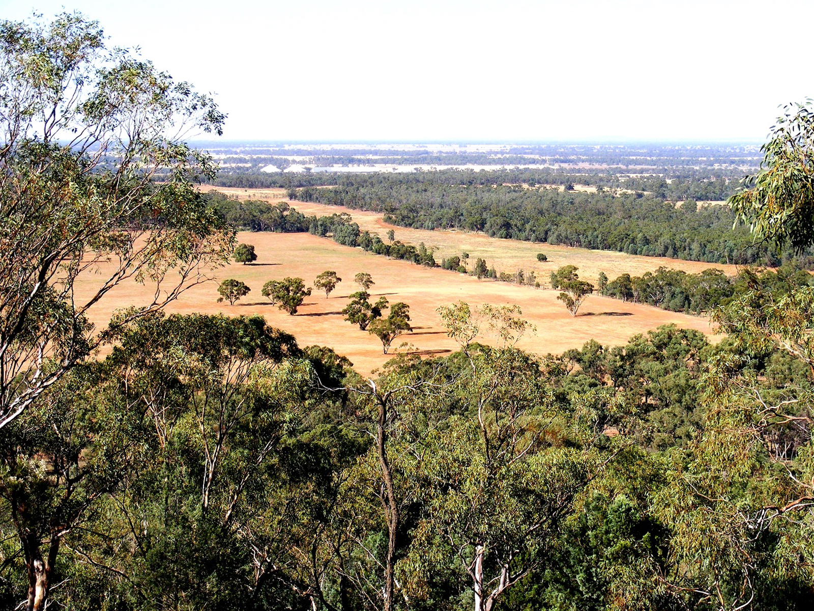
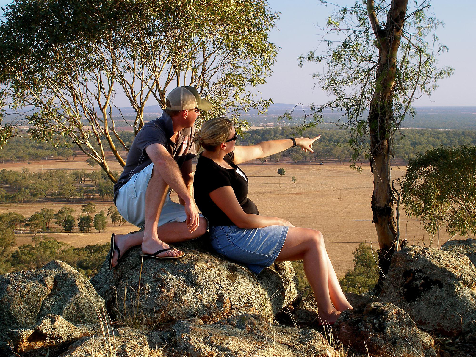
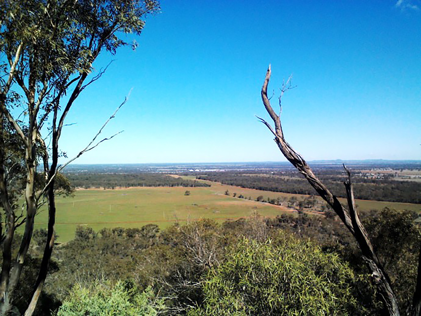
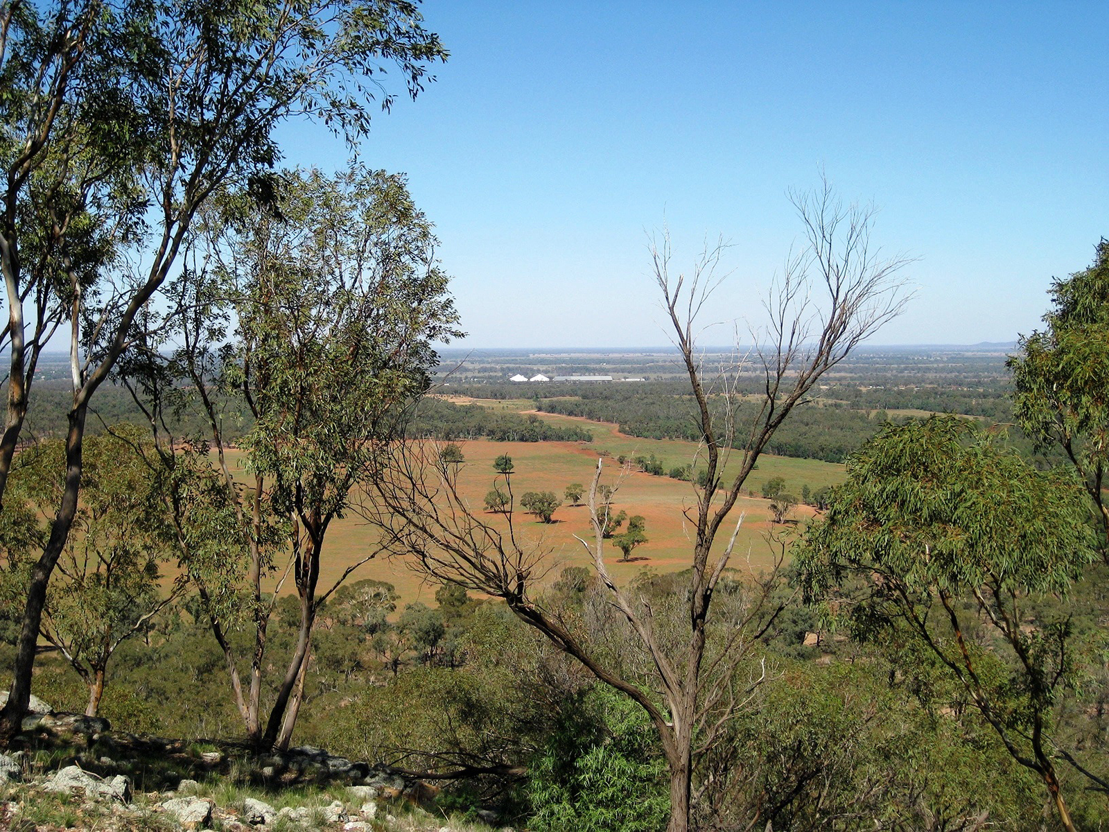
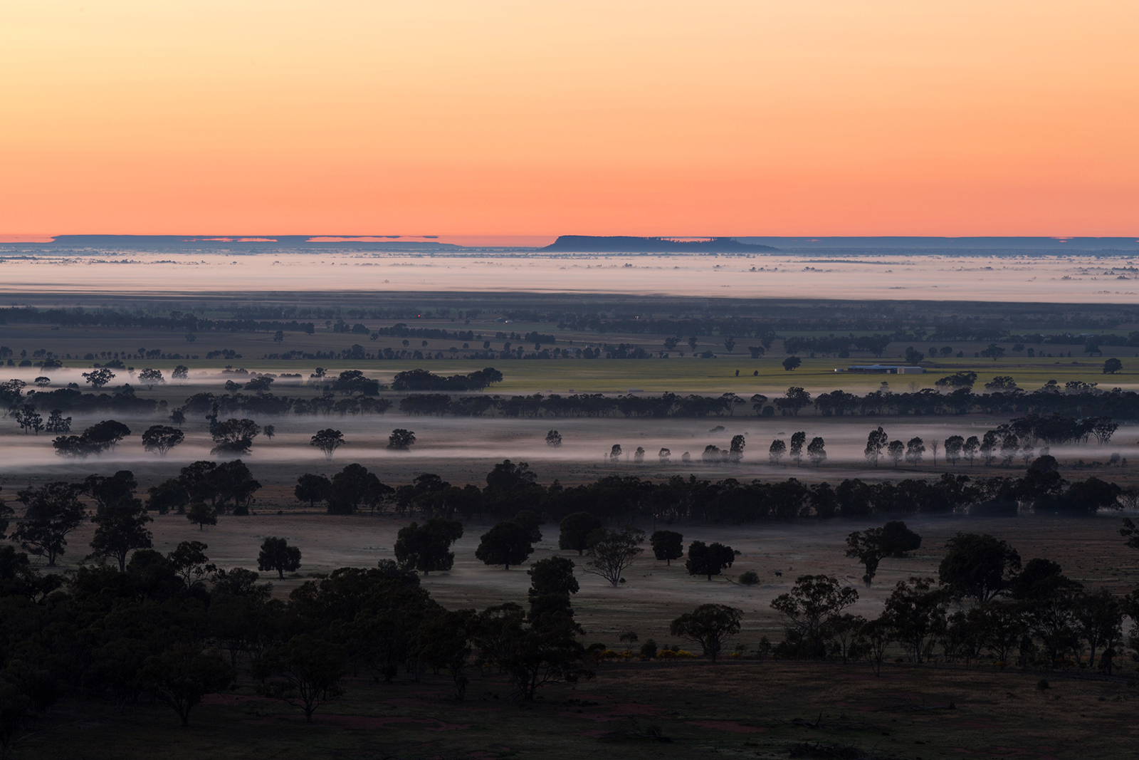
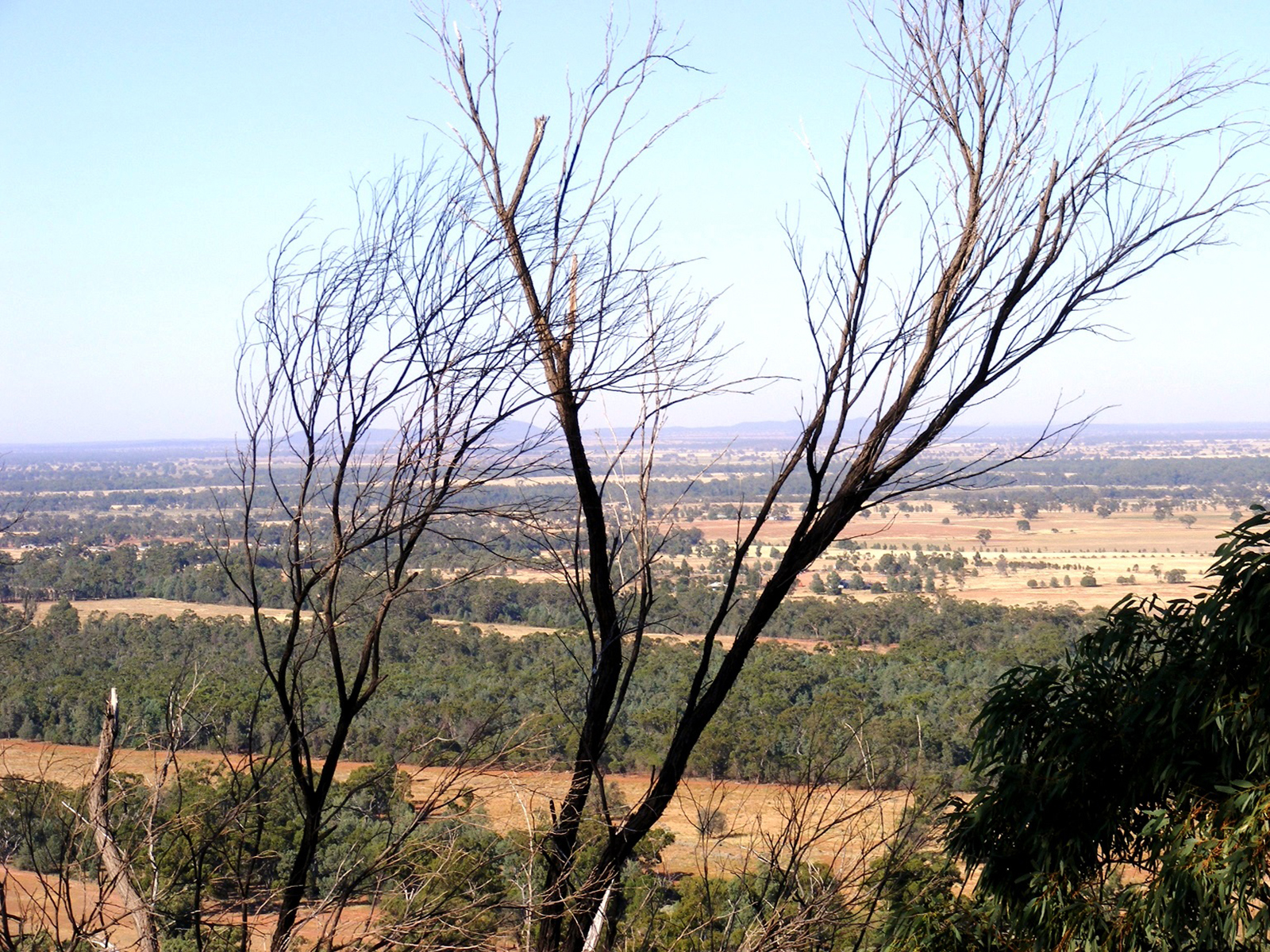
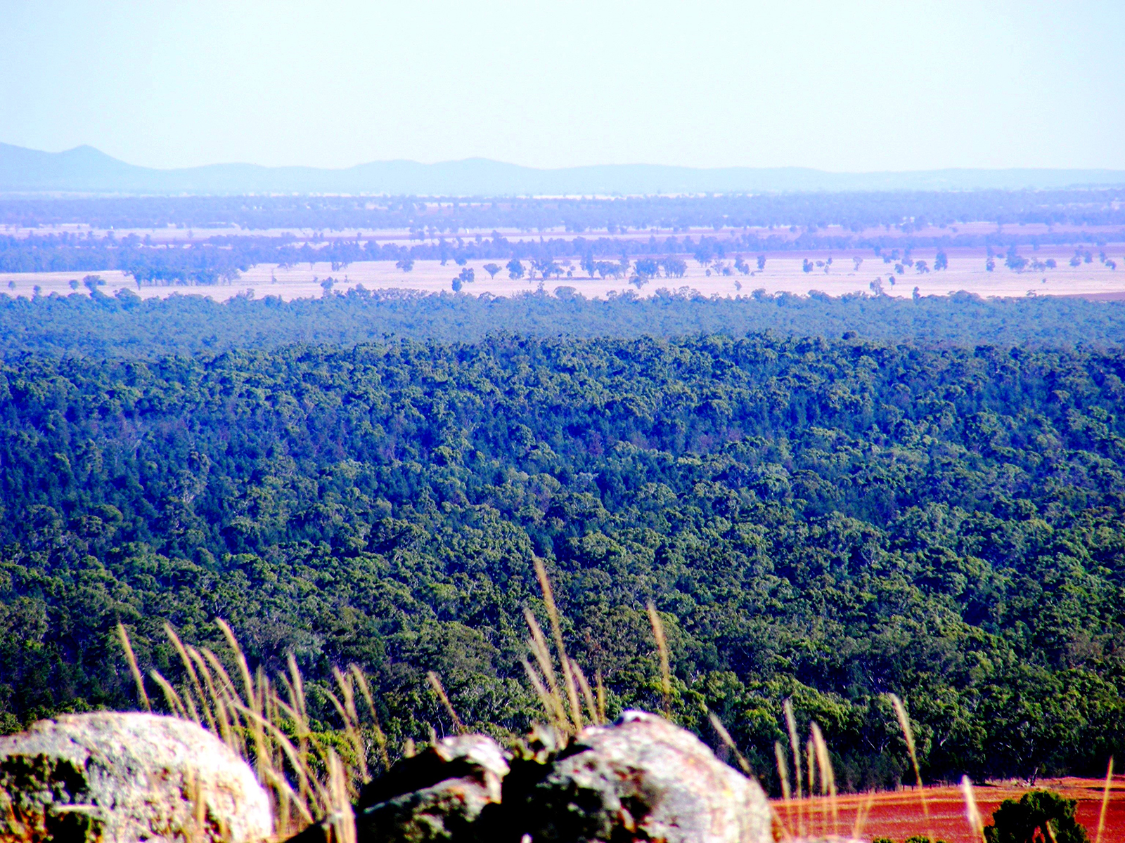
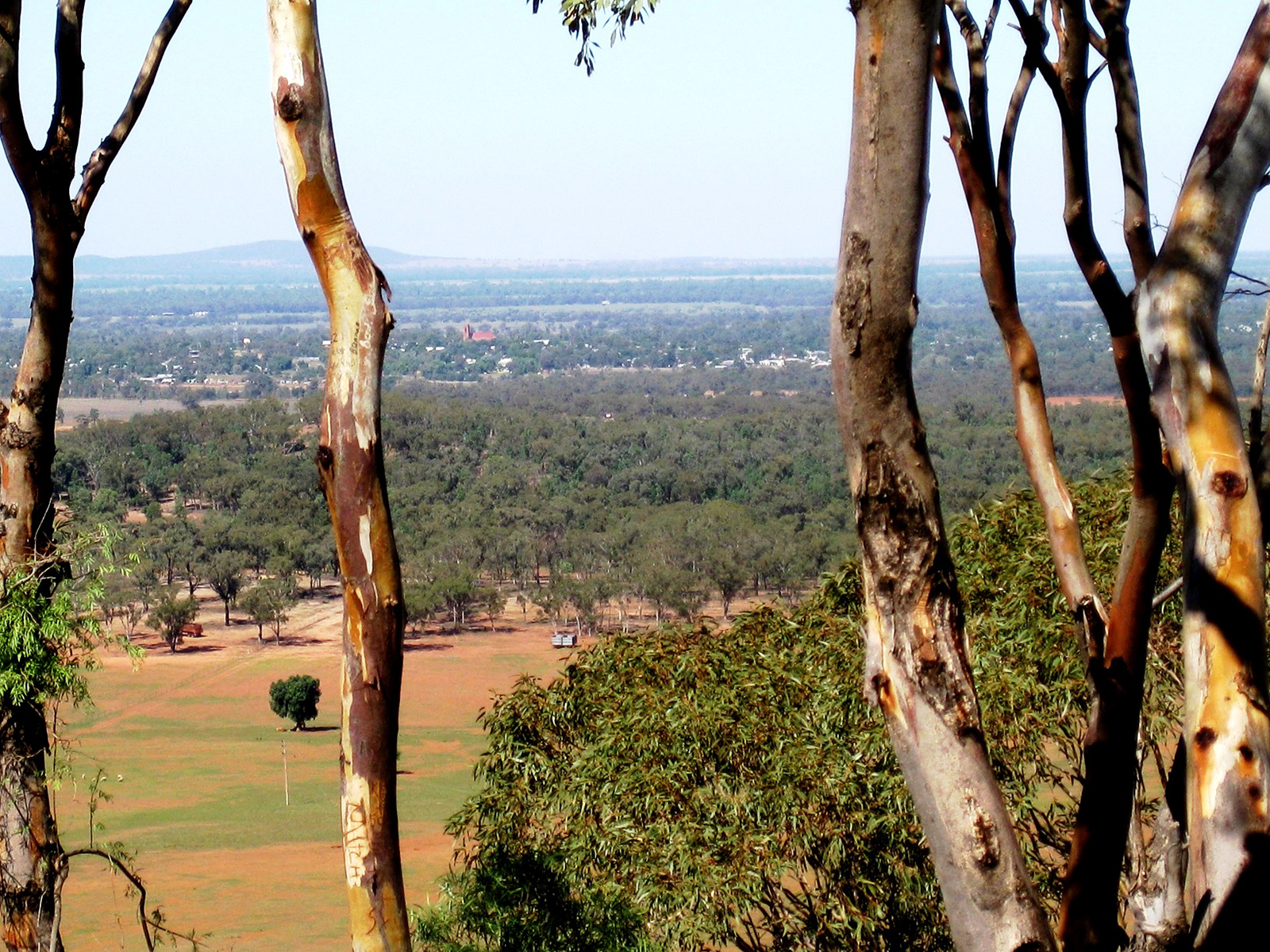
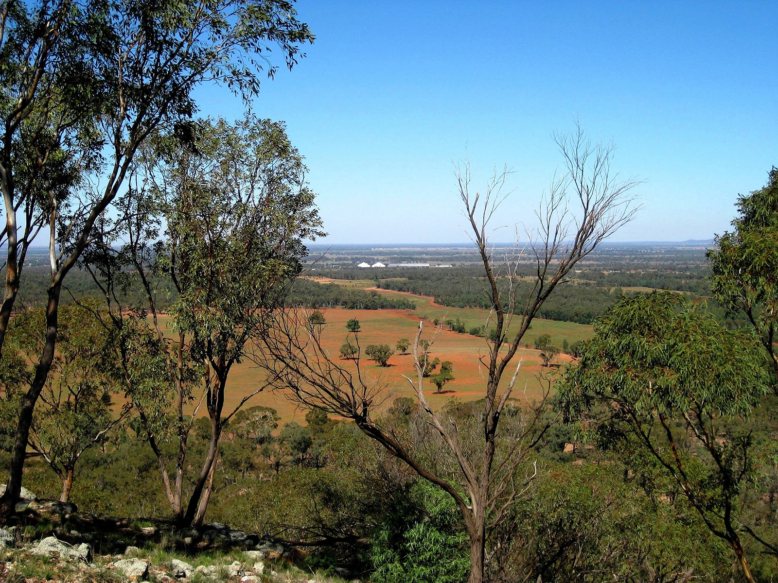
360 panoramic views of the Lower Lachlan Valley
Enjoy the environment at the base of the mountain or be adventurous and climb to the top for spectacular views!
About Mount Tilga & the walk to the summit!
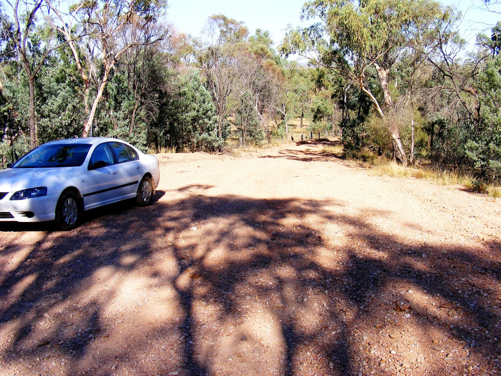
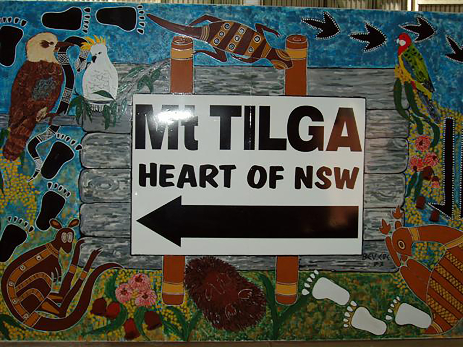
Mount Tilga is eight kilometres north of the town of Condoolin on the Melrose Road and was originally known in the 1800s as the geographical centre of NSW.
Enjoy the environment at the base of the mountain, or for the more adventurous you may wish to carefully climb to the top, for panoramic 360 degree views of the lower Lachlan Valley.
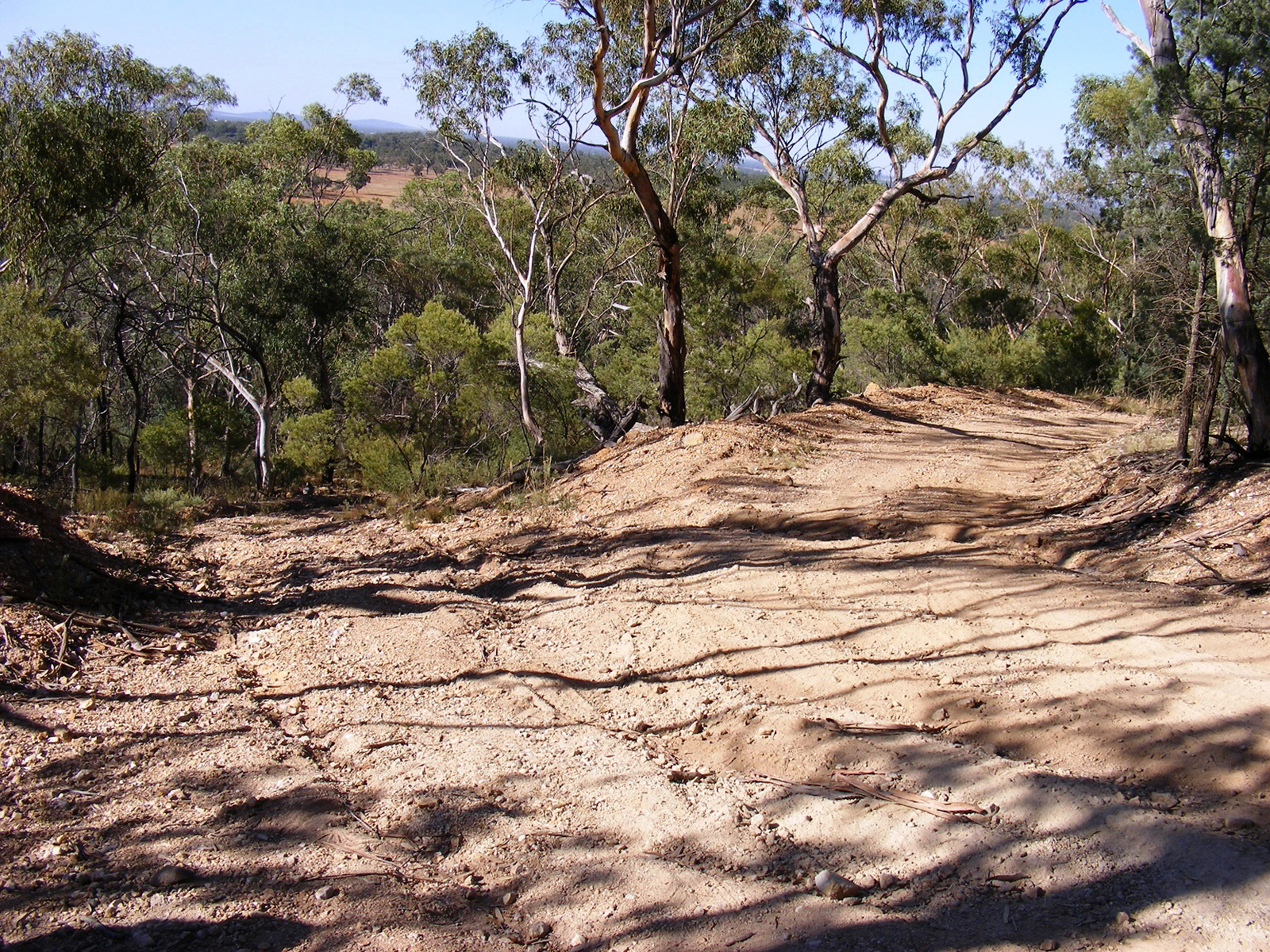
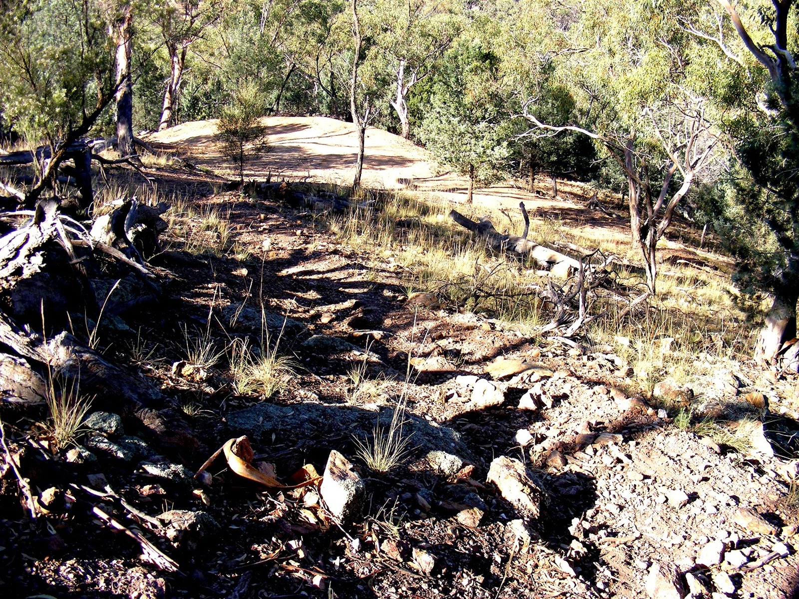
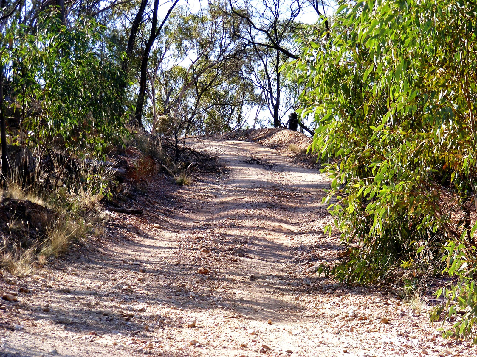
The climb to the summit is aprroximately 456m and is not the easiest walk but the views over the Lachlan Valley and the surrouding fields and paddocks are worth the effort as it offers an excellent panorama views of of the Central Western plains.
Turn right onto Mount Tilga Road and drive for 750m
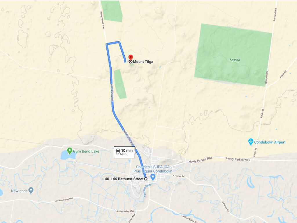
Starting from the corner of McDonnell Street and Bathurst Street head north up Melrose Street that turns into Henry Parkes Way for approximately 8.6km
Distance: Approximately 2km from Centre of town and approximately 25 minutes to walk and 4 minutes by car:
Directions to Mount Tilga and the climb to the summit
- Starting from the corner of McDonnell Street and Bathurst Street head north up Melrose Street that turns into Henry Parkes Way for approximately 8.6km
- Turn right onto Mount Tilga Road and drive for 750m
- Turn right again to stay onto Mount Tilga Road and drive for another 1.2km to the base of the mountain
- Turn right onto Brady Street and head east towards the Lookout for approximately 550 metres
- Turn right onto Brady Street and head east towards the Lookout for approximately 550 metres
- Don't forget you binoculars and camera!!
- For more information about the Reservoir Hill Lookout or other activities contact:
Condobolin Visitor Information Centre
Located at the Western Plains Regional Development Building
18 William Street, Condobolin NSW
02 6898 150